

Best Practices When Collecting Data
The foundation for successful analytics results is capturing quality data. POLLi considers many of the variables affecting data quality in its design. Helping users be more successful by having default settings will assist in capturing the best data, therefore producing the best analytics. Ensuring an understanding of some of the uncontrollable issues as a user will assist you in considering some of the variables you can control in order to improve the process and results further.
Ground Sample Distance (GSD)
By default, POLLi’s flight application will use a relatively small GSD of 0.25 cm to capture the detail necessary to process our algorithms. in order to achieve this small GSD you must fly extremely low to the ground and depending on the camera you are looking at anything from 30 feet AGL to 35 feet AGL in order to get this small of a GSD. While POLLi’s machine learning software will process data at lower GSD levels, it will not produce reliable data to extrapolate from. Some pointers to get lower GSD levels can be done as followed:
Lower Altitude - the closer you are to the ground, the finer the resolution or lower GSD.
Use Better Cameras - If your drone allows for higher resolution cameras, swapping for a better solution may be in your best interest.
Fixed Lens - Zoom cameras are not recommended. There are too many variables that can add to the complexity of capturing useful and consistent data. Cameras with interchangeable lenses should rely on a fixed-length prime lens.
If you want to find out what height is required for getting 0.25 cm GSD with your own drone camera then referring to a simple GSD calculator can get you there. POLLi offers a free GSD calculator where you just need to input the information relevant to your camera and desired GSD
Geolocation Accuracy Requirements
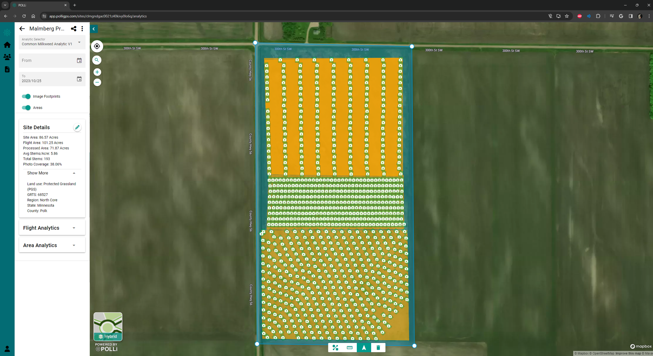
Polli uses a sampling technique that does not require a complete overlap of the imagery. This feature aims to reduce the overall image count and processing requirements. The strategy of no overlap is intentional to support scaling large projects like conservation initiatives. POLLi is capable of generating precise location accuracy. However, processing with high absolute accuracy isn't necessary when relative accuracy is sufficient. The use of Ground Control Points is not an option in POLLi.

Capture High-Quality Images
Image quality is crucial in providing the best data analytics results. Low-quality images degrade the performance of object detection models, leading to issues such as unprocessed images, reduced accuracy, and inconsistent object identification. Learning the fundamentals of taking sharp images can significantly improve the quality and consistency of your analytics results. You will find a list of considerations to help you improve your image quality in the topics below.
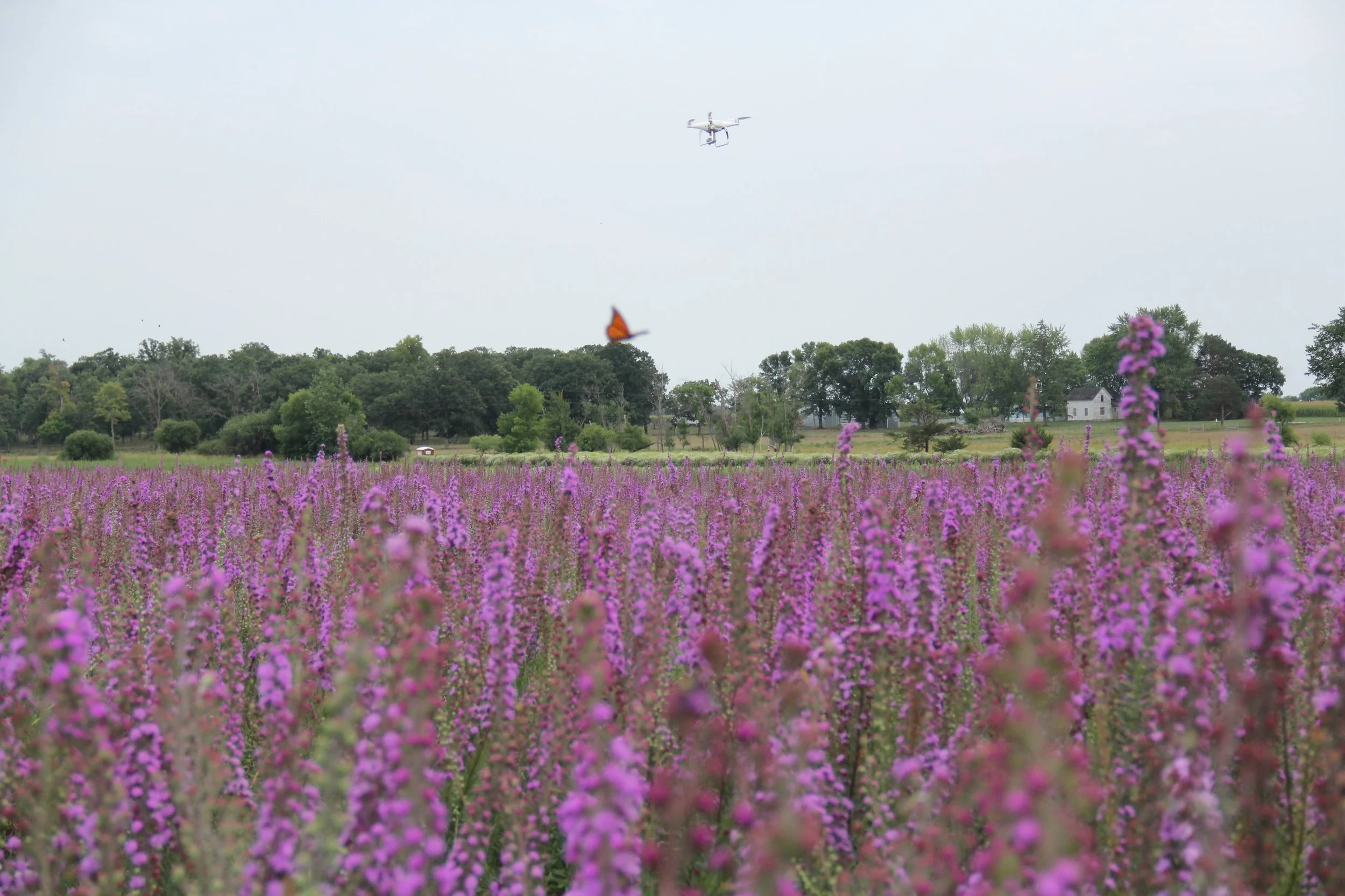

Image Quality: Weather
Lighting – Consistent lighting is essential for capturing high-quality drone images. Sunny days may seem like the ideal lighting conditions, but highly contrasting shadows and glare from reflective surfaces can be problematic for image analysis software. A bright, overcast day can produce the best quality images since the clouds diffuse the sunlight, creating soft, consistent lighting with little to no shadows.
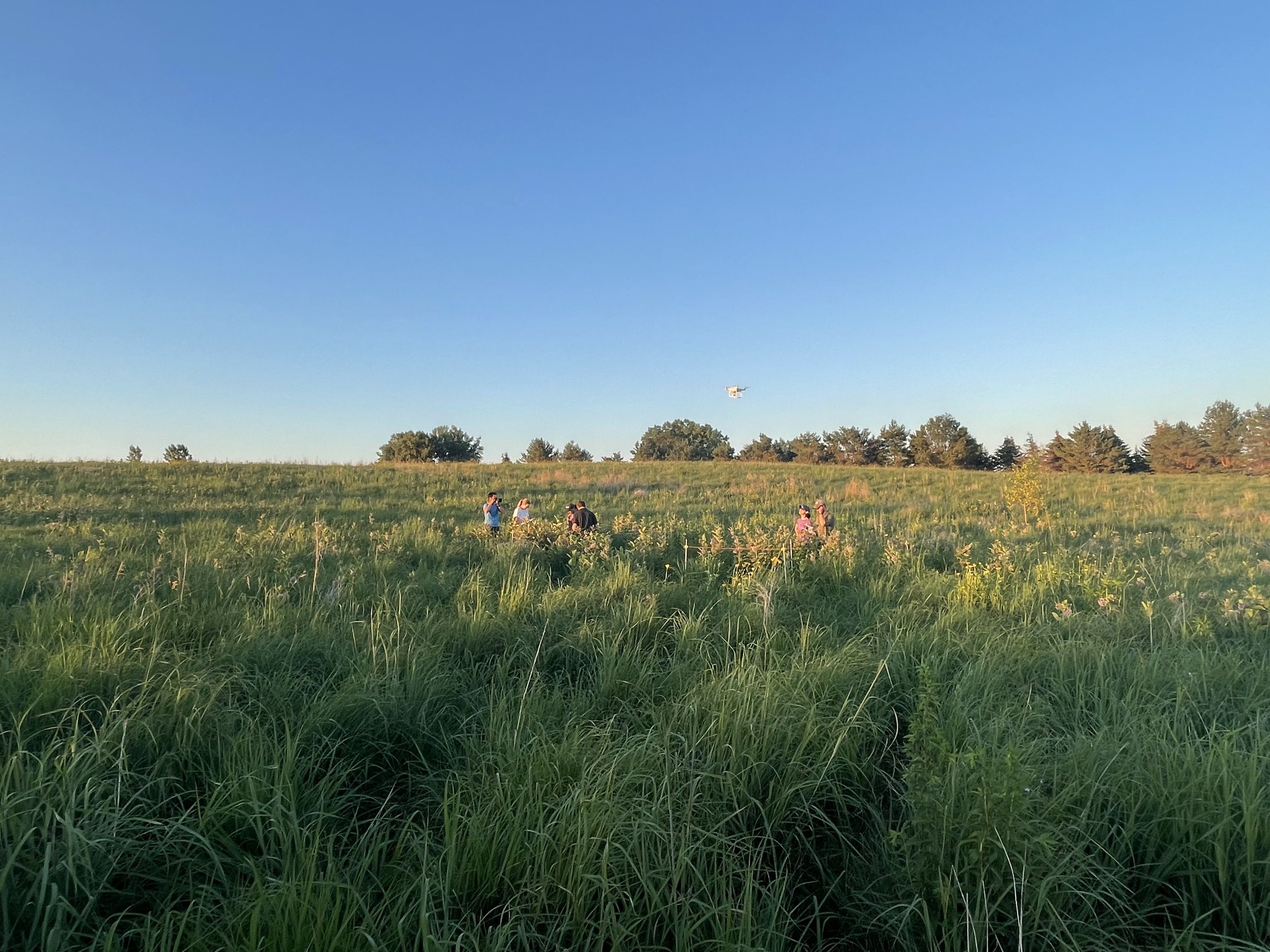
Wind – Capturing images of plants on with wind in excess of 15mph on the ground could prove to affect the quality of the images. The primary issue is the movement of the plants. Fast or erratic movement of the plants could introduce motion blur, making the images unusable.
Flight Speed – Fly your drone as slowly as possible to reduce motion blur. Motion blur occurs when the camera moves faster than it takes to capture the image—exceeding the camera's shutter capability by flying too fast results in blurry photos.
Before Uploading
Upon flight completion, review your drone images and remove any that may cause errors during processing, such as:
Blurry Images
Photos you don’t want processed
Improper image exposure
Improper camera alignment
Images with an obstructed view of your project area

Our mission is to make field data collection fast, easy, and robust. We want to put drones and artificial intelligence in your organization’s toolbox.
