

Analytics
POLLi uses machine learning and object detection to support species monitoring, habitat mapping, invasive species management, and compliance reporting—advancing conservation outcomes, reducing bias, and enhancing environmental accountability.

POLLi is designed to be inexpensive, fast, accurate, simple to operate, and expandable to support multiple analytics and uses.
Overall, POLLi helps organizations optimize operations, reduce costs, improve performance, achieve goals, and drive long-term success, enabling them to achieve their land management or conservation objectives
Customer categories include:
NGOs and Conservation Organizations
Energy Generation and Distribution
County, State, and Federal Agencies
Mining & Forestry
Engineering and Land Management Practices
Compliance Reporting
Starting with the end in mind

POLLi provides organizations with the tools needed to supercharge data collection and analysis. We remove barriers, letting you focus on making the most informed decisions, increasing your team’s effectiveness.

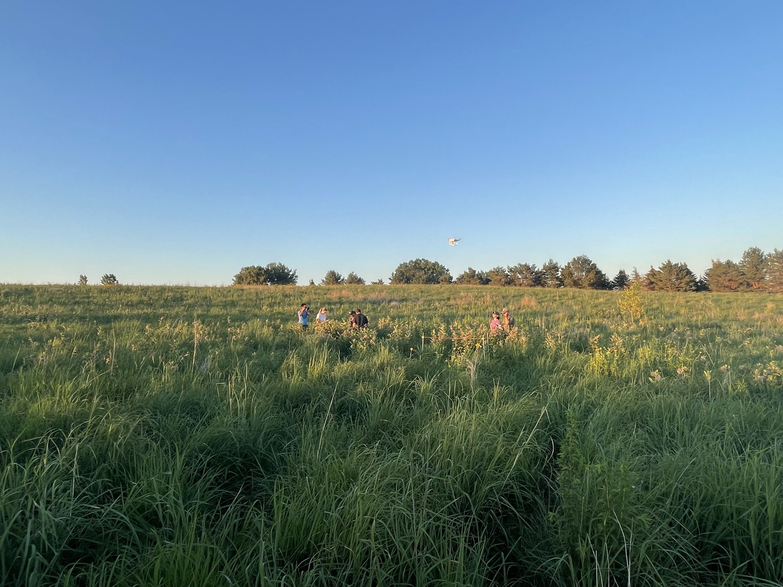
POLLi helps individuals and organizations across North America identify and inventory Common Milkweed for Monarch Butterfly conservation and provides detailed reports for monitoring protocols.
Common Milkweed Identification

Characterizing each pixel in an image of a right-of-way, a solar production site, CRP or broad acre wildlife habitat into nine separate categories can be done quickly and accurately using POLLi’s Habitat Index tool.
Habitat Index


We've only scratched the surface of what POLLi can do to assist with object detection and characterization. There is much more to do. Explore further how you can leverage the economic convenience of object detection for various applications.
New Algorithms and Applications

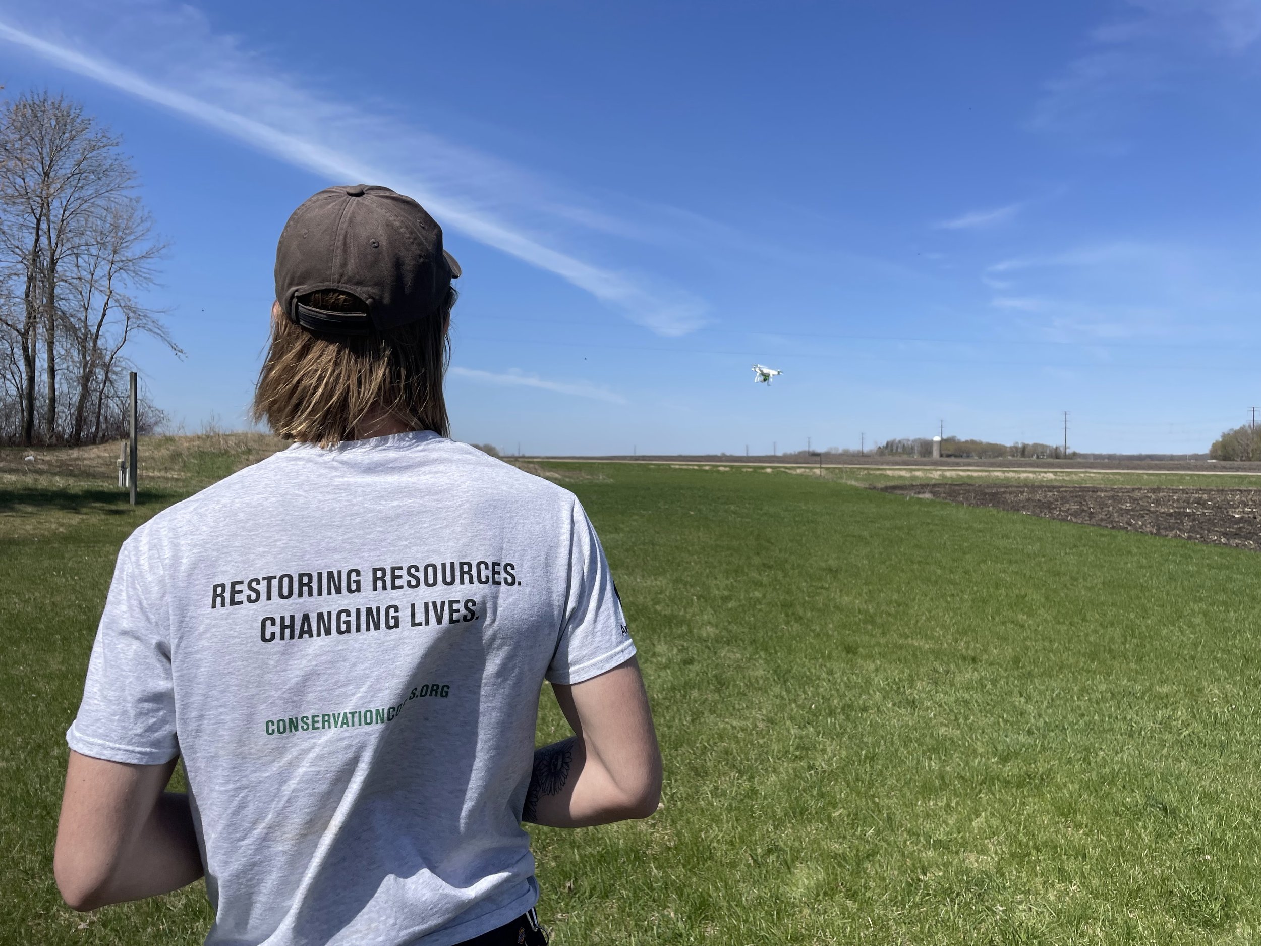
Our mission is to make field data collection fast, easy, and robust. We want to put drones and artificial intelligence in your organization’s toolbox.
The same images can be exposed to multiple algorithms using the same GSD, reducing your cost to collect and monitor your areas of interest.
POLLi maximizes drone imagery benefits with standardized GSD and data types, simplifying data collection and analysis. It ensures uniform data parameters for RGB, multispectral, hyperspectral, satellite, thermal, etc., fostering consistency and integration across data types, land types, and uses.
POLLi facilitates collaboration by easily using standardized imagery data and insights, reducing redundancy. This interoperability empowers users to apply advanced analytics and machine learning to diverse datasets. This synergy between standardized data and advanced analytics enhances decision-making, fosters better choices, and deepens our understanding of complex challenges, thanks to POLLi's innovative capabilities.
Same Data, Different Uses
We are working with other custom analytics developers to host their technology when it makes sense. If you think this is an opportunity worth exploring, please contact us. Or, if you have performed research and need to get it over the finish line, there may be a way we can work together to make your solutions come to life for others to employ.
Bring your own analytics
