


POLLi®
The Evidence Standard for Vegetation Management.
POLLi® turns high-resolution imagery into a governed, shared evidence standard. Increase your review capacity and reduce interpretation drift with traceable, image-linked documentation.
The POLLi® Methodology
Traceable Findings: We establish a "digital thread" for your assets, ensuring that every observation is linked back to high-resolution visual evidence for total defensibility.
Expert Governance: Our workflow codifies Subject Matter Expertise, ensuring that human judgment remains the final authority in identifying critical or invasive species.
Standardized Deliverables: We replace subjective field notes with structured, GIS-ready records that remain comparable across every season, sensor, and geography.
The Result: The Evidence Pack™
The Evidence Pack is your organization’s definitive record of stewardship and safety. It provides a standardized bundle of image-linked findings and GIS layers designed to streamline audits and internal reporting. By centralizing your vegetation evidence, you ensure a consistent "source of truth" for every stakeholder.

“When seamlessly integrated into conservation research, [POLLi®] equips our community with advanced tools to quickly and precisely assess habitat quality and distribution, enabling more strategic resource allocation for the protection of a diverse range of plants and animals.”
Wendy Caldwell, Executive Director of Monarch Joint Venture
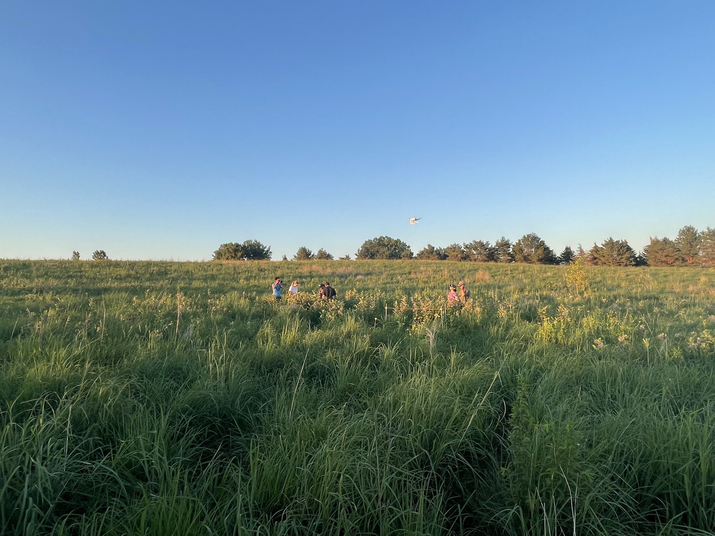
POLLi in action
POLLi® was built mission-first. We work closely with our industry partners to ensure we’re building software that meets their needs. Collecting data with a drone is the easy part, but actually putting it to use to make more informed decisions is where POLLi®can help. The POLLi® platform lets users easily manage image data over time - just select your site and browse all collected flight data.
Markets We Serve
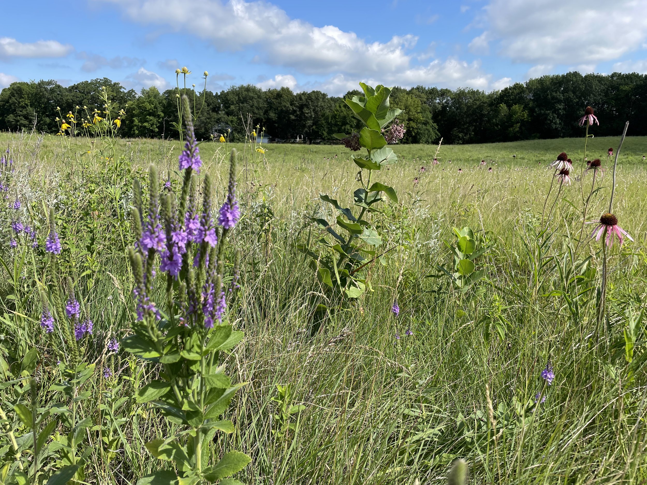
Conservation / Land Stewardship
Vegetation Management / Right-of-Ways
Electrical Distribution Management
Solar Field Inspections
Invasive weed management

Sign up for a free account today, and take POLLi® for a test drive. No cost to get setup and we’ll drop $25 in processing credits in your account to get you started.


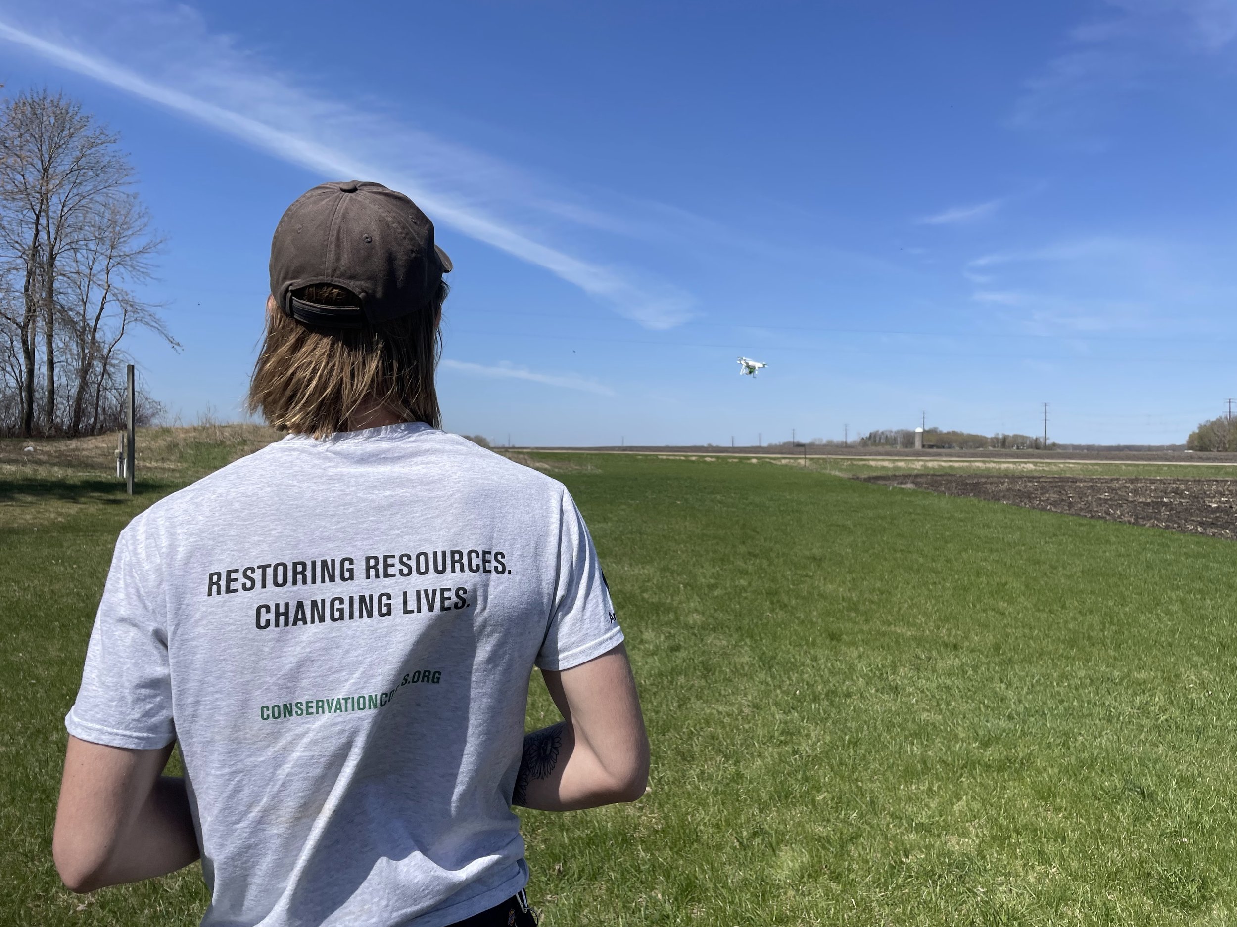
Simple to use drone flight application
Controlling how data is collected ensures machine learning algorithms’ accuracy. POLLi's intuitive flight application ensures data integrity while making field data collection easy.
Plan the flight before leaving for the field, making sure you collect enough data for your project requirements. Once in the field, all your data collection specialist needs to do is power up the drone, hit the “start” button in POLLi, and the drone will take care of the rest for you.

Our mission is to make field data collection fast, easy, and robust. We want to put drones and artificial intelligence in your organization’s toolbox.

Supporting customers is our top priority
We understand the importance of our customers’ work, and your success is our success. We’re 100% committed to ensuring that your organization can take full advantage of the POLLi® platforms and drive increased operational efficiencies and productivity.
