Calculation Inputs
Ground Sample Distance Utility Documentation
Ground sample distance (GSD) is the distance between two consecutive pixel centers on the ground. The formula to calculate GSD is:
Ground Sample Distance (GSD) and POLLi Analytics Results
POLLi algorithms have been standardized around 0.25cm GSD to leverage efficiencies in algorithm models.
The efficiency of the POLLi system is quickly realized when the same images can be analyzed with many different algorithms, eliminating the need to collect the data again at a different resolution, thereby saving valuable time.
POLLi is designed to evaluate single images and supports sampling from 5% to 100% image coverage.
Most reporting protocols accept sampling as part of their reporting methodology. In most cases, POLLi will capture many more samples than are currently being done manually.
The flexibility of single image evaluation in POLLi empowers users to collect data at different coverage levels, depending on their specific use cases and reporting requirements.
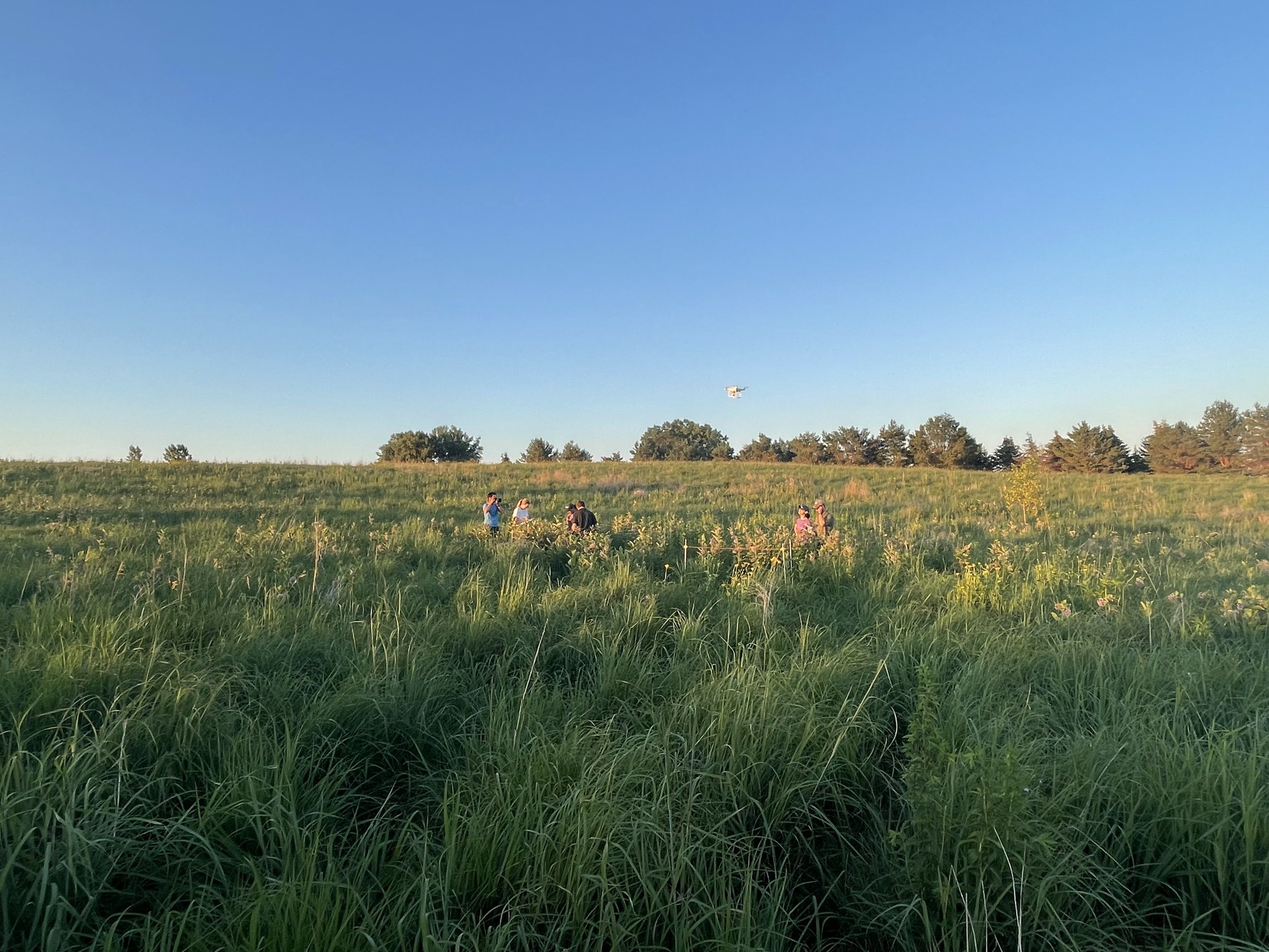
POLLi flight planning software enables users to select a coverage level based on the flown sensor. It then saves the most recent flight plan for easy reference for the next flight at that location.
The POLLi flight planner maintains a constant altitude over the ground contour. This feature improves consistent coverage at the appropriate flight altitude to maintain consistent resolution when processing data.
If you want to find out what height is required for getting 0.25 cm GSD with your own drone camera, a simple GSD calculator can help. POLLi provides a GSD calculator where you can input the specifics relevant to your camera, and it will generate the appropriate GSD.
Ground Sample Distance Utility Documentation
H = Altitude of the camera above the ground (in meters)
f = Focal length of the camera lens (in millimeters)
SW = Sensor width (in millimeters)
imW = image width in pixels
imH = image height in pixels
Calculation Results

GSD = Ground Sample Distance (in centimeters/pixel)
DW = Width of projected image(meters)
DH = Height of projected image (meters)
imA image area (square meters)
imA1 image area (square acres)
Results:
GSD: cm/pixel
Image Width on Ground: meters
Image Height on Ground: meters
Image Area: square meters / acres
Data Collection Considerations
Supported Cameras and Sensors
•POLLi has a list of supported sensors and lens configurations listed on the website. We are continuously adding new sensors to the list. Please get in touch with support if you need clarification on a sensor/camera you want to use. Zoom lenses and digital zoom cameras should be avoided.
Global Shutter Cameras
•In most industrial mapping applications a global shutter camera will produce better quality images. If the option is available, we suggest using a global shutter camera instead of an electronic rolling shutter (ERS).
Ground Speed
•POLLi has default flight speeds set into the automated flight planning application. The speeds are set to capture the best quality data, providing the best results. Flying faster can be accomplished, which may lead to less-than-optimum results.
Contour Following
•POLLi’s contour following feature in the flight application does not use obstacle detection sensors. POLLi also does not avoid obstacles. Vigilance must be maintained during the entire flight to ensure obstacle avoidance.
Flight Altitude
•GSD with a fixed focal length camera changes with altitude. Non-commercial drone and camera combinations often require low altitudes to collect imagery with sufficient resolution to identify and classify plants. POLLi supports some non-commercial drone/camera options as a gateway to understanding the value of the technology. Collecting data at scale is best completed with a hardware solution that allows the user to fly higher and faster, achieving the greatest ROI.
GSD Calculator
To generate the GSD being captured, enter the specifications of your sensor/camera, the focal length of your lens, and your flight altitude.